|
Woodside/Saratoga/Bohlman-OnOrbit/ |
||||
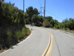
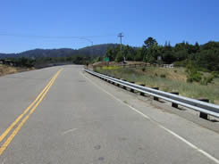
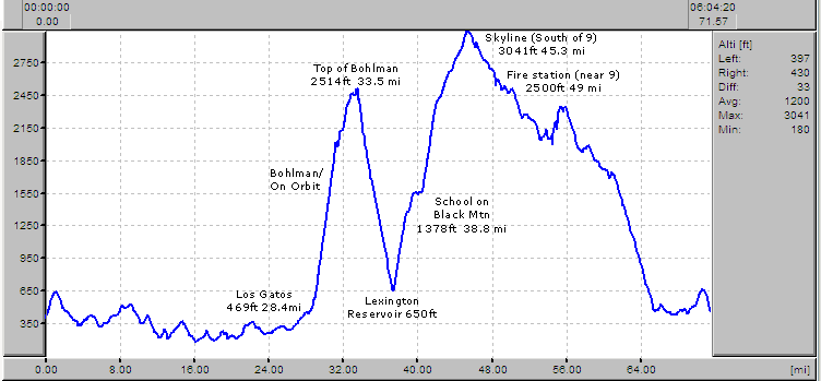
| Sometimes you need to prove something to yourself. This is a ride for one of those times. It starts out nicely enough, with an easy cruise along the backroads between Woodside and Cupertino, then heads west to Saratoga. At that point, those without really low gears should turn around and go home... the Bohlman/On Orbit climb is the stuff of local legend. Of course it can't end with just one nasty climb, so after a mile or so cruise on a dirt road across the top of the ridge, you drop very quickly to Lexington Reservoir, parallel it for about a hundred yards and then it's up up up again, this time on Black Mtn Road. Not quite as knee-breaking as Bohlman (very little is!), but still with extended sections at 10%. Finally you end up at Skyline, about 5 miles south of Highway 9. The nastiest part of your climbing is now done; of the 70 miles you'll travel, the climbing is largely compressed into a mere 17. Regarding the mileage and climbing, 71.58 miles/7,339 ft of climbing is from my own starting point, halfway up Jefferson in Redwood City. Starting from Roberts in Woodside (corner of 84 & Canada), mileage will be about 65 and climbing around 6,800 feet or so. Map coming shortly! --Mike-- 5/31/04 |
||||
 |
 |
 |
||
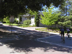
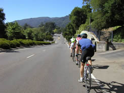
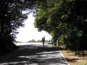
| 8:05am- We assemble at Roberts (in Woodside). Kevin, Todd & "Long Bob" in attendance (along with myself). | 8:13- Didn't take long before we were stopped by Todd's flat. About 200 yards, actually! | 9:35- This time it's Kevin, but we've made it down to Cupertino by now. |
||
 |
 |
 |
||
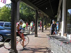
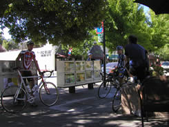
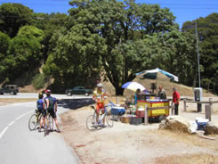
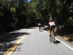
| 9:54 as we head into Saratoga. Nice day, with temps running 62-82'. The others have no idea what's ahead. | 10:00 and we stop at a bakery (on the right side of Highway 9) for Kevin's required Diet Coke. We also came across two women out on a training ride; they were too smart to join us for Bohlman/On Orbit. | |||
|
|
 |
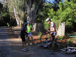
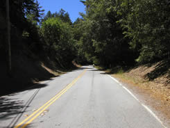
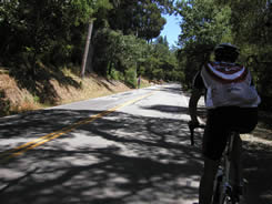
 11:00- At last, the top of Bohlman! It's actually become something else by this point, but you don't care, as long as it really is the top. So how bad is the climbing, really? Today, it was really bad! In fact, near the section shown on the left, I actually stalled out and had to walk a short distance... something I don't think I've ever had to do before. Todd, Kevin & Long Bob were all witnesses to the event, but kindly said nothing about it. They didn't have to. |
||
 |
 |
 |
||
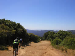
| 11:06- Who needs a mountain bike anyway? And, as you can see, we're not the only ones knowing this secret route! These photos show the dirt road across the top of the ridge, connection Bohlman/On Orbit on the Saratoga side with Montevino on the Lexington Reservoir side. | ||||
 |
 |
 |
||
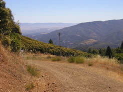
| 11:21- The descent down Montevino drops you off at Lexington Reservoir, where you see about 100 yards of flat road before turning onto... |
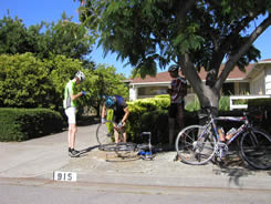
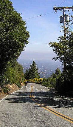
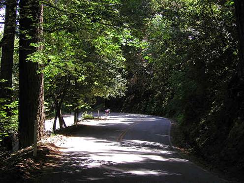
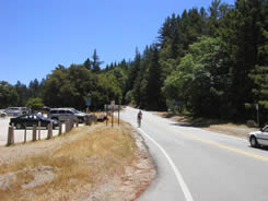
...Black Mountain! This nasty climb features continuous grade in the 8-10+% range. That dot in the distance is a rider I'm steadily losing ground on (norm for the day so far!). | 11:35- finds you at a school on Black Mtn where you can refill your bottles. This is essential, as it's the only water between Saratoga and the fire station on Skyline (near Highway 9). | ||
| More of Black Mountain- This is another photo from the prior ride that included Black Mountain. The company I kept on that particular day was far more civilized (slower paced) than today, so I was able to get quite a few more photos. When you're operating past the red zone (as was the case throughout nearly all of the climbing on this ride), it's very difficult to maintain momentum while taking photos. Heck, it's difficult to even maintain balance sometimes, as your speed threatens to drop below the stall point! It's a great photo of the steeper section of Black Mountain though, which comes a couple miles after the school. Black Mountain is actually a climb in two pieces; the first, which goes from the bottom to a point just past the school, then it levels out for a mile or so before the final assault to the top. |
 |
|||
 |
 |
 |
||
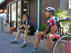
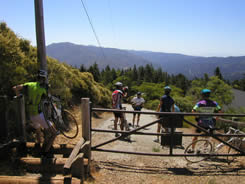
| 12:07pm- At last, the top of Black Mtn! 2400ft, at Skyline, and the end of the strenuous climbing. You'll head north on Skyline, gaining another 600 feet on relatively easy grades. | 12:33- 6 miles of heading north (towards home, finally!) on Skyline has brought you to Highway 9, where there may be a place to buy a coke & chips, as there was today. But don't count on it; more likely you'll need to pick up water at the CDF fire station about half a mile further north. Please note that the coke machine at the fire station was only taking quarters today. | |||
 |
 |
 |
||
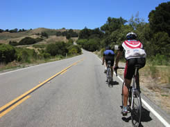
| 12:58- One of many fun little drops (most of which have to be made up by climbing again!) on Skyline. Still, it's pretty fast time between Highway 9 & Sky L'Onda, 14 miles & 50 minutes later. | 1:31- Hard to see in this photo, but as we're descending 84 towards Woodside, a CHP motorcycle briefly became part of our party, actually riding within inches to the side of Todd for a little bit. | 1:40- Very familiar territory, as we've turned onto Tripp road and then King's Mtn (shown here), on our way back to Woodside. 70 miles from start to finish, 7,339 feet of climbing... but that makes it sound easier than it was! | ||
 |
||||

Mon - Fri: 11:00am - 6:00pmSat: 10:00am - 5:00pmSun: Closed